About Our Work
Salmon are a cultural touchstone in Alaska and we have an incredible opportunity to sustain the landscape that supports them, before it becomes too late. Our hope is that through regional ecosystem-based understanding of salmon habitat, stakeholders will be able to make informed decisions that increase community stewardship of the landscape and result in greater salmon resiliency.
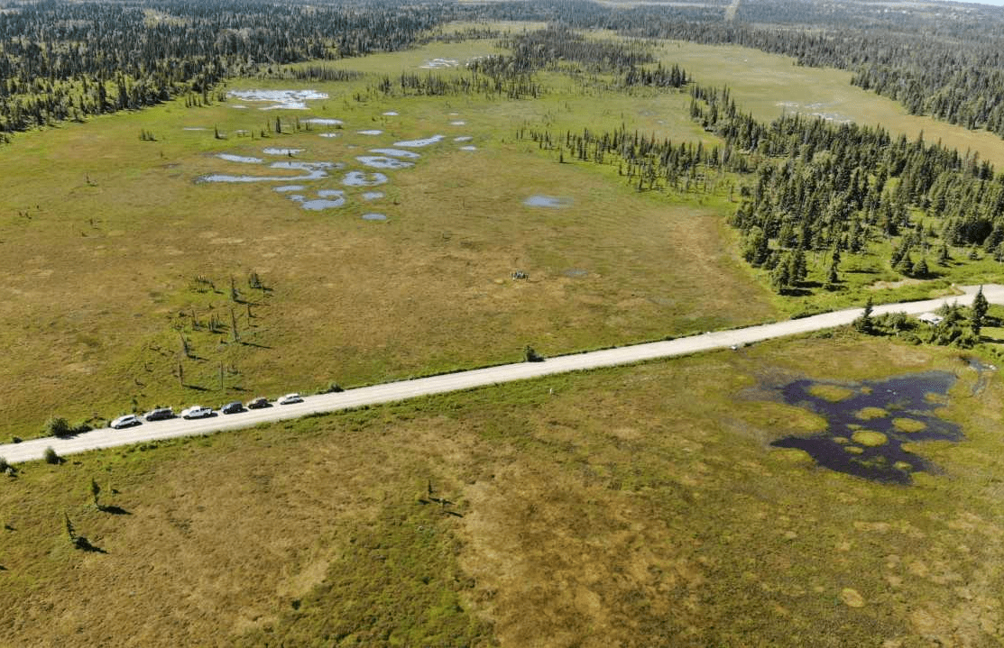
The extensive research on healthy salmon habitat is not necessarily common knowledge among decision makers. This issue is especially pressing in the Kenai Lowlands where land ownership is predominantly private, and land use decisions are made at various geographic scales.
Our working group strives to put years of research into the hands of stakeholders. In collaboration with landowners, resource managers, land use planners, tribal leaders, regulators, and researchers, we have developed a variety of tools that can aid in decision making surrounding salmon support systems as well as outreach materials curated for the general public.
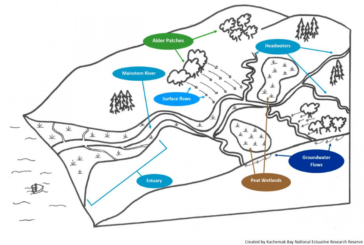
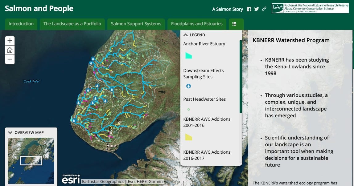
We also present the state of watershed research related to salmon with an interactive story map and short videos that help stakeholders understand how different landscape elements (i.e. alder, peat wetlands, and shallow groundwater flows) are essential for salmon success. The geospatial tool allows landowners and decision makers to view these elements within a geographic information system including land parcels, existing infrastructure, and waterways. Incorporating the geospatial tool into decision making allows stakeholders to pursue development in a way that maintains watershed connectivity and landscape elements that support salmon streams.
